File:SS Map.png
No higher resolution available.
SS_Map.png (447 × 316 pixels, file size: 38 KB, MIME type: image/png)
Summary
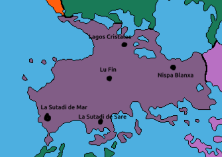
Map of Major cities in Sante Spirite
File history
Click on a date/time to view the file as it appeared at that time.
| Date/Time | Thumbnail | Dimensions | User | Comment | |
|---|---|---|---|---|---|
| current | 19:39, 3 May 2025 | | 447 × 316 (38 KB) | Raum (talk | contribs) | Map of Major cities in Sante Spirite |
You cannot overwrite this file.
File usage
The following page uses this file: